









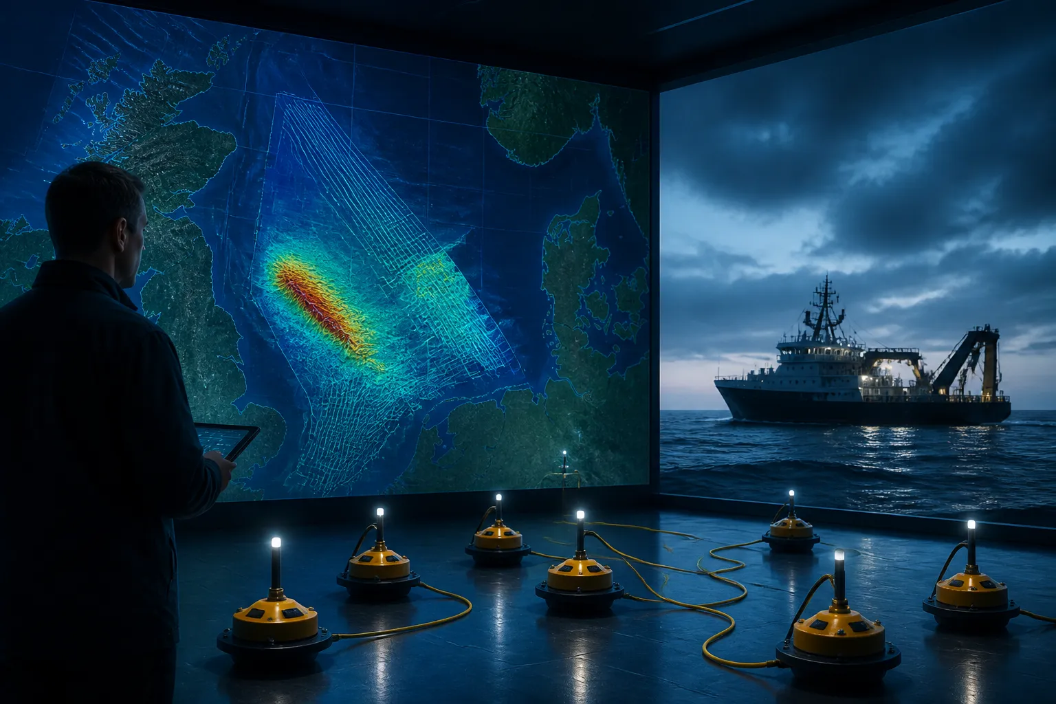
Viridien has added another piece to a busy North Sea seismic calendar. On May 18, 2026, the company announced a dense multi-client OBN survey in the Frigg area of the Central North Sea, reinforcing a broader run of high-resolution imaging projects across the region.
The announcement matters because the North Sea is a mature basin where much of the easy-to-see geology has already been mapped. In that setting, the value of new data often lies in detail: better imaging beneath complex layers, clearer fault interpretation and a stronger basis for deciding where to drill next.
Viridien’s recent newsroom activity shows the Frigg survey is part of a larger pattern rather than an isolated event. The company has also highlighted North Sea programs such as Utsira North and OMEGA Merge, along with CDI25, suggesting continued emphasis on dense reimaging and multi-client data products in one of Europe’s most watched offshore regions.
What Viridien Announced
The verified development here is straightforward: Viridien said it launched a dense multi-client ocean-bottom node, or OBN, survey in the Frigg area of the Central North Sea. That makes the new work a fresh addition to its regional imaging portfolio, not proof of a newly disclosed company-to-company strategic tie-up.
That distinction matters. In offshore seismic, a survey announcement can indicate an investment in data acquisition without implying a broader commercial partnership beyond the immediate project. For readers trying to understand the business signal, the safest reading is that Viridien is continuing to build North Sea imaging coverage where it sees demand.
Viridien’s own newsroom also continues to surface other regional programs, including Utsira North and OMEGA Merge. Taken together, those projects suggest a sustained focus on extracting more value from known acreage by improving subsurface visibility rather than chasing brand-new frontier basins.
Why OBN Data Matters in the North Sea
OBN surveys differ from traditional streamer seismic in a key way: the sensors sit on the seabed instead of being towed behind a vessel. That can provide cleaner and more flexible data in places where surface acquisition struggles, especially in busy offshore areas with complex geology, infrastructure or difficult imaging conditions.
In practical terms, higher-density OBN data can help companies resolve details that matter for exploration and development planning. Those details include the shape of reservoirs, the position of faults and the way sound waves move through the subsurface.
For a mature basin like the North Sea, that extra clarity can influence whether an operator advances a prospect, revises a well plan or decides a location is not worth the risk. It can also support near-field exploration, where companies look for smaller opportunities close to existing infrastructure.
This is one reason the Frigg-area survey is noteworthy even without a dramatic headline about a new alliance. More detailed imaging still has commercial value in regions where the remaining opportunities are harder to see and more expensive to test.
How This Fits the Recent Timeline
Viridien’s Frigg announcement sits alongside a sequence of North Sea imaging activity in 2026. The company has recently highlighted the Utsira North multi-client OBN survey, and its newsroom continues to list programs such as OMEGA Merge and CDI25.
That timeline points to a steady build-out of data-rich work in the Norwegian and wider North Sea subsurface. Rather than a single one-off project, the pattern suggests an ongoing commercial emphasis on reimaging and reprocessing areas where operators want better answers from existing acreage.
There is also a narrower technical backdrop involving Aker BP. Viridien has previously published technical papers that reference Aker BP permission or data in North Sea seismic-imaging case studies. That shows the two companies have worked in related subsurface-imaging contexts before, but it does not verify a new June 9, 2026 collaboration announcement.
That point is important because the verified material does not support a claim that a fresh company-level agreement was announced on that date. The safer interpretation is that any Aker BP reference should be treated as background to Viridien’s technical work, not as evidence of a newly expanded relationship.
Who Stands to Benefit
The direct audience for this kind of imaging campaign is the set of operators and investors active on the Norwegian Continental Shelf. Better subsurface data can improve the odds of finding commercially viable pockets of oil and gas, while also reducing some uncertainty around development choices.
That matters most in mature offshore regions where the economic challenge is not simply to find hydrocarbons, but to find them with enough confidence to justify expensive drilling and subsea infrastructure. High-resolution seismic can narrow that uncertainty.
Service providers and data buyers also benefit from the continuing demand for dense surveys. For companies like Viridien, a strong North Sea program can help sustain a business model built on recurring multi-client data sales, reimaging and interpretation products.
For the broader market, these surveys are a reminder that energy exploration does not end when a basin matures. Instead, the technical emphasis shifts toward extracting more from less obvious targets, often by combining fresh acquisition with advanced imaging workflows.
What Is Known, and What Is Not
What is known is limited but solid. Viridien announced a dense multi-client OBN survey in the Frigg area of the Central North Sea on May 18, 2026. The company’s newsroom also shows related North Sea programs, including Utsira North, OMEGA Merge and CDI25.
Also verified: Viridien has published technical material that refers to Aker BP permission or data in North Sea seismic-imaging studies. That supports the idea that both companies have appeared in related technical contexts before.
What is not verified is more important than what is. There is no official confirmation in the material provided that Aker BP and Viridien announced a new or deeper collaboration on June 9, 2026. There is also no verified basis to say the Frigg survey changes an existing contract or reflects a new strategic partnership between the two companies.
So the most accurate reading is narrower: this is a fresh seismic-activity update from Viridien, placed against a broader background of North Sea reimaging. Any deeper corporate meaning would require a separate, official announcement.
What happens next is likely to be technical rather than ceremonial. The key question is how the new Frigg-area data performs once it is processed and interpreted, and whether it adds enough clarity to influence exploration or development decisions in the Central North Sea. For now, the story is less about a new corporate alliance than about the continuing race for sharper pictures beneath one of the world’s most studied offshore basins.